Walks and hikes in Europe and California, posted sporadically as they happen… or as I reflect on them…

Thursday, October 9, 2008

30: St.-Dalmas-le-Selvage to Roya

Beginning with the walk of July 14, additional photos from our walk across the Alps can be found here
Day 33: July 22, 2008

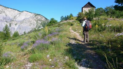
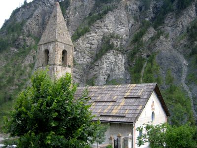
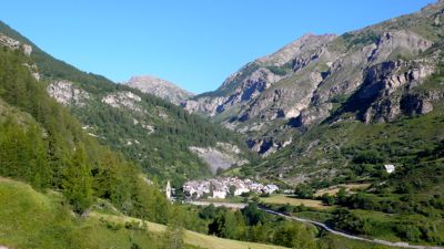
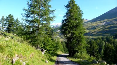
We left St.-Dalmas, a town I liked a lot, at eight in the morning, after a nice breakfast. passing its old church, crossing the Jalorgues, and climbing easily up a dirt road past pastures and in and out of forest, often turning around to admire St.-Dalmas as it receded from view.
P1030320.jpg
In a little over an hour we arrived at the Col d'Anelle, having climbed only 250 meters or so: but soon we could look down at St.-Étienne-de-Tinée, a good-sized town where we'd originally thought we'd be staying the night. It took an hour and a half to descend to the town across scree and through brush. Both terrain and flora had definitely changed in the last few days; we were well and truly in Provence: wild lavender grew alongside the path, and I stuck sprigs in my hat to try to discourage gnats.
P1030325.jpg
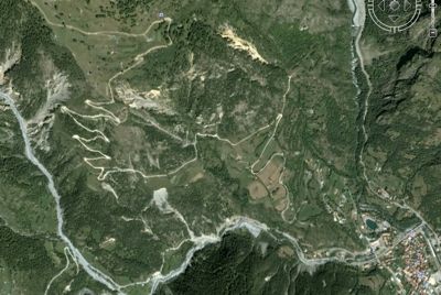
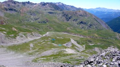
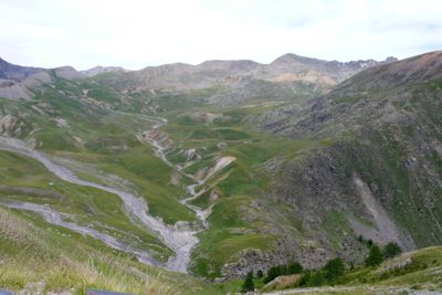
The descent to St.-Étienne took longer we'd thought, down a number of lacets — hairpins — on loose scree but through brushy country fragrant with roses, lavender, and, now, thyme and oregano; then along a fairly long traverse, losing altitude very gradually. The trail began to skirt houses clearly attached to the town, not farmsteads; then it became a footpath along walled gardens. Fig trees occasionally thrust branches over the walls, but we didn’t find any ripe fruit.
lacets.jpg
The lacets on the way to St.-Étienne: it's about a mile and a quarter as the crow flies from the upper left to the pond, lower right, and 550 meters down
(from Google Earth: hope they don't mind)
For some time we’d seen helicopters circling overhead: not surprising; the Tour de France was due to ride through town about five o’clock, and the advance press was there, working with the advance support. Nor were we surprised to see barricades at various intersections; vehicular traffic was being held up, or re-routed, to ready the Tour. But there was a much heavier component of security of various kinds than might usually be the case, because the President of the Republic was due to arrive any minute; he was delivering an important speech at two o’clock.
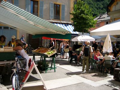
A friendly cop pointed out our best route into the center of town, and there in the market square was an incredible bustle of people — added to the usual mix of housewives, grandmothers, old men, and kids, a very large number of businessmen not normally seen at the market, all in dark suits, white shirts, neckties, and dark glasses, many with various decorations in their lapels. Clearly they were Important, and had to attend the President’s appearance somehow; I imagined it mustn’t have been much different at court, in the days of the Sun King, except for the business suits, of course.
IMG_0553.jpg
(photo: Mac Marshall)
Well: it was about eleven o’clock in the morning. We scattered to do our errands: bread, fruit, sausage, a bottle of mineral water for me, as my favorite brand had begun to appear in the stores. And then we got out of town. I don’t know what Henry and Mac thought, but the crowds and the noise were too much for me. I hadn’t realized how much we’d been removed, these last four weeks, from humanity in such concentration.
IMG_0555.jpg
(photo: Mac Marshall)
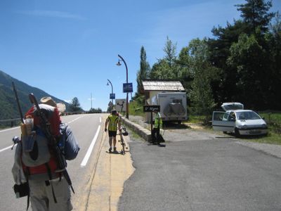
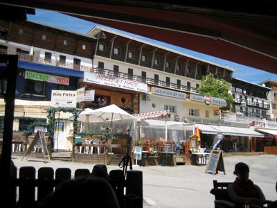
We walked along the “highway” for a couple hundred meters — D39, a “Départementale” road, equivalent to a minor state road here; only two lanes, but with striped-off bicycle lanes: convenient, since a number of amateur cyclists were on the road preparing in some way for the Tour. Then we turned off, climbing a set of steps to a very steep forest path, then up more hairpins until we’d climbed 500 meters to reach Auron, a good-sized town at 1600 meters. In fact we climbed considerably above it, dropping down from a forested ridge three or four hundred feet above, and then had to walk down a disagreeable asphalt road, past garbage bins and recycle centers, to what turned out to be not a village, as I’d thought for some reason, but a ski resort.
IMG_0556.jpg
(photo: Mac Marshall)
I’d hoped for a hotel here: it was two o’clock. But there wasn’t a hotel, not one we could afford in any case. We stopped for a pot of tea, but the one café we found open was brusque and unpleasant. These ski resorts may be fun in season, but they’re not very welcoming in summer. We followed one lead after another in search of an internet connection, finally finding one in a hotel a little off-center from the town (and definitely off the GR5); here some of us found e-mail, and I left my glasses behind, had to go back, never found them, was giving up in despair, and then — at Henry’s suggestion — checked my pocket: there they were.
By now it was after three o’clock, and we still had to climb four hundred meters to the Col du Blainon. At first we were walking up through a ski-piste, under the ski-lift; then a long traverse; then the familiiar lacets to the pass, at 2000 meters, a little before five o’clock in the late afternoon.
P1030353.jpg

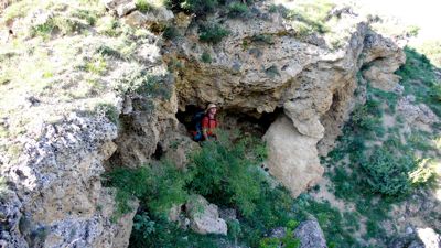
Our guidebook suggested it would be an hour from there to Roya, where we’d spend the night: but it took us forty minutes longer than that, chiefly because of the steep scree descent. We walked through plenty of flowered pastures, and past curiously pocketed rock-faces, often offering shallow caves that might be handy in a rainstorm. Roya turned out to be not much of a town, but there was a nice gîte d’étape, its shutters painted that flybane blue so popular in Provence. Our dinner was Provençal, too: after a potato-pea soup, a boeuf daube with pasta, really nicely cooked. The management was not Provençal; they were from Montréal: but they know what they’re doing.

Distance walked, day 33: ca. 26 kilometers (16 miles) • Time: 10 hours • dénivelement: ca. 2900 meters (9500 feet)

Additional photos from our walk across the Alps can be found here

all photos cs except as as noted


Wednesday, October 1, 2008

29: Larche to Saint-Dalmas-le-Selvage

Beginning with the walk of July 14, additional photos from our walk across the Alps can be found here
Day 32: July 21, 2008


A SPECIAL MORNING: I opened the last of the four volumes of my topographical guides for The Long Walk: we were leaning into the end of the trip. We left our dubious gîte in Larche at 7:30, walking a country road along the Ubayette,
P1030231.jpg

and reached our first waypoint, Pont Rouge, in an hour or so, resting there for fifteen minutes. This was a trailhead parking lot, and there were a few cars already parked there: at this point you enter the Mercantour national park and its natural-reserve Lauzanier valley.
P1030234.jpg

I've read that there is some concern about disappearing species of wildflowers even here, thanks to the traditional transhumance which encourages flocks of sheep and herds of dairy-cows to browse these meadows in the high summer: but we saw plenty of wildflowers everywhere; we were told this was a special year for them, thanks to heavy May rains.
P1030239.jpg

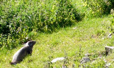
There were also marmots everywhere. I was grateful for the country road we continued to follow; walking the grassy meadow among all those marmot-holes could have been treacherous. Before long the road narrowed to a footpath leading through occasional rockslides toward the end of the valley.
P1030248.jpg

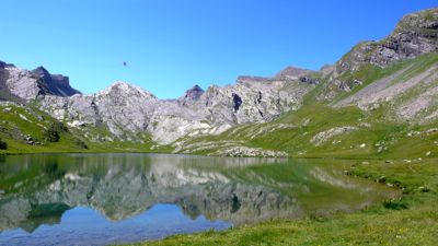
I looked back toward the north to see Mac toiling up the loose rock, his blistered left foot troubling him; then stepped over a slight rise, too low to be called a col, and there ahead was the true end of the valley, the marvelous Lac du Lauzanier.
P1030252.jpg

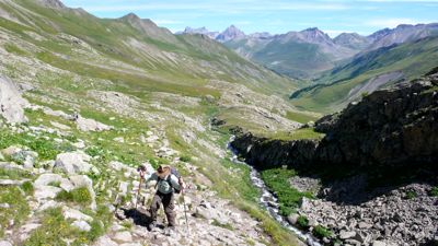
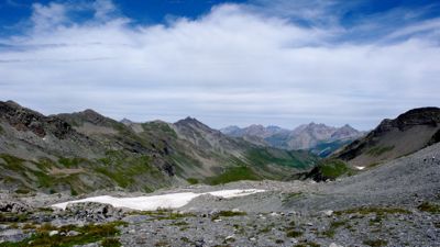
Here we had a little company, two or three clusters of day-hikers and one campsite. But it was utterly quiet, the surrounding amphitheater of rocks and mountains enforcing a pristine silence in the high thin air; even the marmots had stopped their whistling. Eleven o'clock: we rested ten minutes, then continued, skirting another, green lake, climbing over loose scree, past occasional patches of snow, up to the Pas de la Cavale, at 2671 meters (8760 feet) the third highest col of our entire walk.
P1030263.jpg

Down, down, ahead of us, was a new landscape, dotted with perfectly round pools of various shades of blue and green. We heard bells, and I'd been smelling sheep for some time; we were certain they were ahead of us somewhere. (Maybe tonight I would finally have some lamb chops!) We spent nearly half an hour at the col, resting and picnicking and admiring the view.
P1030264.jpg

Then it was time to descend by quite steep hairpins. We were thankful there was no wind: our topo-guide warned us of blowing stones during times of heavy wind.
P1030269.jpg

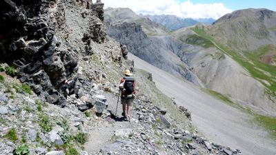
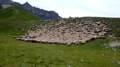
The path occasionally followed narrow shelves between cliff and drop, with plenty of loose stone and scree underfoot; then suddenly we were met by a tired old white dog, and he accompanied us to a rise above an enormous flock of sheep.
P1030275.jpg

We skirted the flock, taking care not to upset the other, more professional dogs — ours seemed to be a pensionnaire — and continued, crossing the Tour ravine (and, on stones, the Tour torrent itself), and then climbing up to the Col des Fourches. Here, at three o'clock in the afternoon, we looked back at the country we'd traveled,
P1030278.jpg

with its many streams draining the cols and summits, cutting the ravines and dumping the stones we'd been contending with. Looking forward, we were surprised to find the paved road, D64; I suddenly realized this country looked familiar because we'd driven that road, the Bonette Pass road from Nice to Barcelonnette, many years ago.
P1030281.jpg

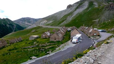
There below us was a scattering of ruined stone cottages, military buildings no doubt; and various sorts of recreational vehicles were beginning to park among them, for the Tour de France was to bicycle through here tomorrow or the next day, and bike-race fans were already staking out their places. This, of course, was the problem we'd been running into concerning hotels and gîtes: from all over Europe, fans were coming here to the Ubaye to watch the race. We walked on down a quite steep trail, cutting across the hairpin lacets of D64, to the town of Bousiéyas: maybe there'd be a last-minute cancellation there.

There wasn't. We had a pot of tea and rested up a bit while waiting for another American, one of the very few we'd seen on GR5, to find a bed for himself: no luck. Now we had two options: stay on GR5, climbing 350 meters (1100 feet) to the Col de la Colombière, only to drop back down the other side to St.-Dalmas-le-Selvage, or walk around the oddly named Tête de Vinaigre on D64. GR5 would be about ten kilometers and the 700 meters of dénivelément; D64 would be twice the distance but constantly descending.

I hate walking on asphalt and wanted to see the pass; Mac's feet were killing him. We tossed a coin; he won. I insisted we hitchhike, though, and before we'd walked a kilometer a nice lady pulled over to give us a ride. It turned out she ran the B&B in Bousiéyas and no, she had no beds that night: everything had been booked up weeks ago. We had a nice conversation; she told me that her husband had seen a wolf a week or so earlier, down by the torrent; wolves were becoming increasingly common, and the shepherds weren't happy about it — this explains the move from border collies to Tatras, an all-white mastiff, much bigger and I think less nervous than the collie.
P1030301.jpg
She dropped us at the side road leading up three kilometers to St. Dalmas, which turned out to be a very welcoming, picturesque village, much nicer than those that had disappointed me in the Arc valley. We stopped at the tourist office just before it closed, at six o'clock, and found a room easily enough — St.-Dalmas is not on the tour de France route — and discovered there was a fête de danse in the village square, where three musicians worked hurdy-gurdies, a violin, and an accordion, and explained how to perform various ancient villager dances.

What a difference between Larche and St.-Dalmas!
IMG_0542.jpg
photo: Mac Marshall
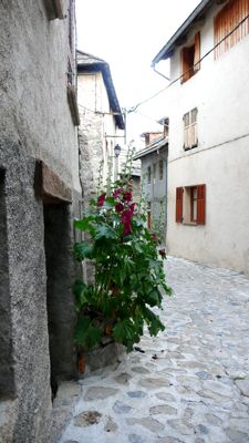
"The northernmost village in Alpes-Maritimes", it has a Romanesque 12th-century church, a cluster of stone houses, hollyhocks and geraniums, quite a good restaurant, wonderful sudden detailed views — we were lucky to have arrived early, thanks to our hitchhiking, and have time to explore. I did not have lamb chops: I ate maigret de canard and cote de porc. But Mac had lamb shank, the last one from the kitchen, and said it was the best restaurant of the walk.

Distance walked, day 32: ca. 24 kilometers (15 miles) • Time: 10 hours • dénivelement: ca. 3250 meters (10,660 feet)

Additional photos from our walk across the Alps can be found here

all photos cs except as as noted
Monday, September 29, 2008

28: Fouillouse to Larche

Beginning with the walk of July 14, additional photos from our walk across the Alps can be found here
Day 31: July 20, 2008


Breakfast a little after seven; out the door at eight, on an overcast but warm morning. Fouillouse wasn't much of a town, and we didn't linger.
P1030197.jpg
I admired the doorways, many painted alarming indigos and deep violets; and the statuary, odd knicknacks in improbable settings, and a charming little St. Mary in a wayside shrine not much bigger than a postbox; and then we hit the road past the chapel out of town.
P1030199.jpg

In twenty minutes we were well away from civilization; it was raining; we put on our raingear and covered our packs. The track took us up a fairly broad valley, southeasterly, larch forest and open pastures alternating, just as did sunshine and shadow.
P1030200.jpg

We climbed steadily, easily, as the valley broadened and left the forest behind, climbing above them; in a little over two hours we were at the first col of the day, the col du Vallonet, unremarkable;
P1030208.jpg

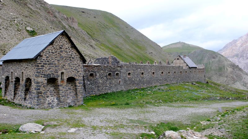
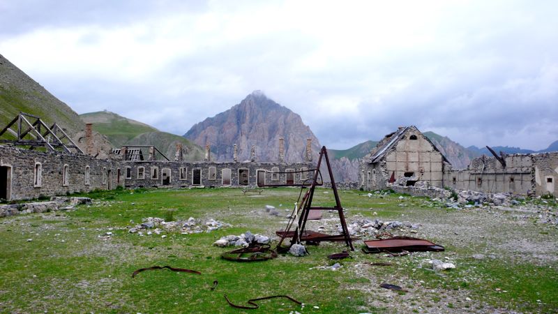
and then, past the crusty Rocher Piroulire, we began climbing again, past the imposing ruins of the Laraquements de Viraysse, part of the fortifications erected after World War I. Henry and I investigate these ruins, going inside the gate and into the parade ground.
P1030211.jpg

One building retains its roof; in really bad weather one could easily ride out a storm here.
P1030212.jpg
Otherwise the buildings were crumbling back into the rock from which they'd originally risen; a familiar air of futility presides over these ruined fortifications, as useless as the wars they so ineffectively guard against.
P1030217.jpg

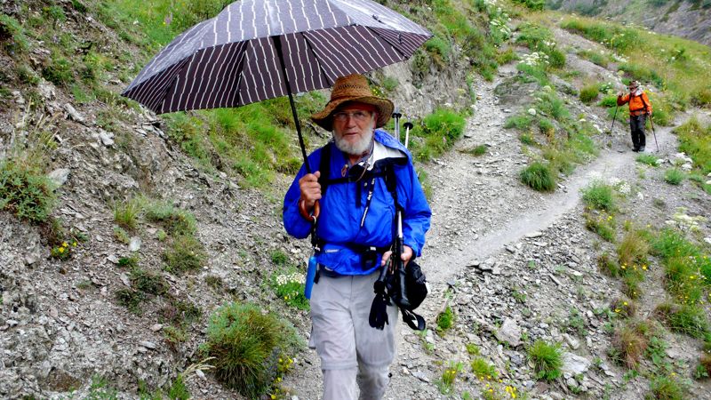
From here we climbed harder, up hairpins, to the col de Mallemort, at 2550 meters the high point of the day; and then we dropped into a valley bigger than we'd originally though, the village of Larche far below us. It began to rain again; I was glad I had my umbrella.
P1030225.jpg
photo: Henry Shere

It rained as we entered town, and not knowing where our gîte was we ducked into the first bar we came to. It turned out to be next door, of course, across a little bridge, and we checked in early, into the least promising-looking stop of our entire trip so far.
P1030228.jpg

Larche was completely destroyed during World War II, and its rebuilding has been more pragmatic than attractive. It stands on an important pass leading to Piemonte, toward Cuneo; one of these days I'll have to explore this area further. For the present we were content with a visit to the Bureau de Tourisme, where the lone attendant, laconic and probably bored, sat in the dark, "conserving electricity" as he pointed out when I commented on it, assured us that we'd have trouble finding accommodations down the road.
Distance walked, day 31: ca. 20 kilometers (12 miles) • Time: 6 hours • dénivelement: ca. 1900 meters (6200 feet)

Additional photos from our walk across the Alps can be found here

all photos cs except as as noted

Friday, September 26, 2008

27: Ceillac to Fouillouse

Beginning with the walk of July 14, additional photos from our walk across the Alps can be found here
Day 30: July 19, 2008


THANKS TO FULLY BOOKED hotels, confusion over too much advice, irresoluteness and my own carelessness, this was a hard and a shameful day. But a beautiful one.
IMG_0493.jpg  IMG_0494.jpg
"The Germans": Dagmar and Andre Jankwitz, Thomas Greff, Irmtraub Marstaller-Greff (photo: Mac Marshall) Henry, CS, Mac (photo: one of "The Germans"

It began at 8:20, when we left last night's gîte together with our German friends, walking through town, past a grassy recreation field, and then hitting the road and trail toward the col Girardin, at 2700 meters (8850 feet) the second highest point on our entire trip.
P1030145.jpg
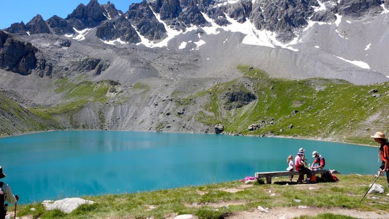
In a couple of hours we arrived at the lac des Prés-Sobeyrand (lac Miroir), where we stopped for fifteen minutes' rest. I was increasingly mindful of our Austrian friend's advice: five minutes rest every hour, an hour's rest every day: but mindful is not actual; the terrain and the weather have a lot to do with it. I was surprised to see two or three pop-tents here: bivouackers were making a late morning of it — but then I recalled we'd walked out of the Parc National Queyras the day before; perhaps camping was, if not exactly legal, at least not illegal here.
P1030150.jpg

In another hour we came to the Chapelle Ste.-Anne at an even more impressive lake, crowded with day-hikers (this being a Saturday): we ate our picnic lunch among them, then left just as the Germans arrived — we had actually passed them on the trail somewhere!
P1030159.jpg

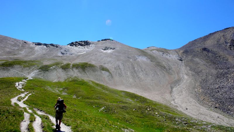
It was a tedious climb from here up to the col Girardin: I slow down when I get above 8000 feet. As nearly every day, when climbing steadily, I was annoyed by mentally hearing obsessive silly tunes, always diatonic, always in duple rhythm: today's was
tune.jpgand so on…

Alll you can do is put up with it; after a while something, stray conversation usually, drives it away.
P1030163.jpg

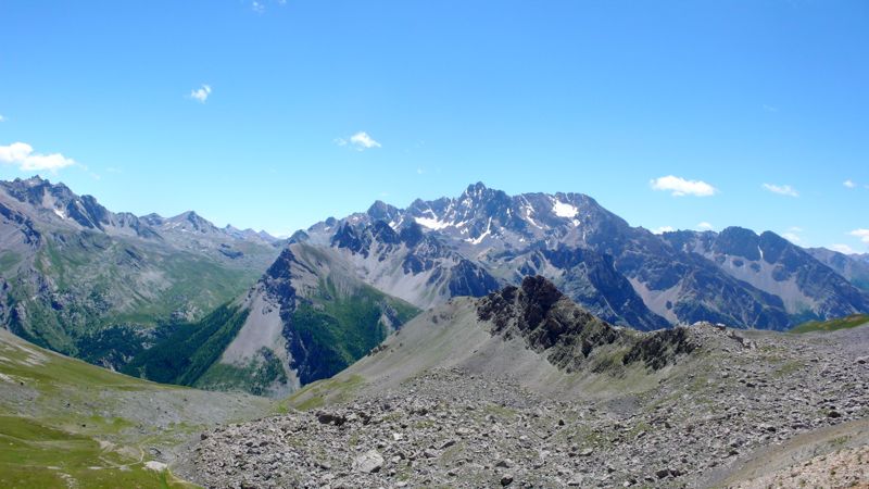
We reached the col a little before one in the afternoon. As well as the second-highest of our entire walk, this was a politically meaningful moment: we were leaving the département of Hautes-Alpes and stepping, finally, into the Alpes-de-Haute-Provence: we were in Provence!, But we didn't linger: we had a lot of territory to cover, and I was still uncertain about the night's lodging — the Belgian had reserved a place at St.-Paul-sur-Ubaye; the tourist bureau lady in Arvieux has reserved one at Fouillouse (I used Mac's name for that one, translating into French — "Maréchal" — for the sake of simplicity and to eliminate confusion).
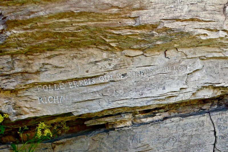
A number of lacets— hairpins — across a suprising pré, pasturage-field, full of flowers; and then a footpath along a new torrent, the Séchoirs; then a surprising large rock covered with inscriptions, some in the elegant hands of the 19th century, others in more recent scrawls.
P1030176_2.jpg


I particularly liked one ancient graffito in beautiful majuscules: Folle brébis qui se confesse au loup (foolish the ewe who confesses to the wolf). We rested: then down, down, and down. At 2:45, we were down nearly nine hundred meters from the col.
P1030183.jpg

By 4:40, we had entered the village of Grande Serenne, where some tables and chairs on a terasse invited us to tea, conversation, and a rest for forty minutes, knowing we weren't that far from St.-Paul-sur-Ubaye, where I expected a night's lodging above the town épicerie. And on, afterward, through Petite Serenne, and down a few kilometers of asphalt départemental road to St. Paul and its gîte, where a sign on the door said complet. I told the grocer we had reservations: Ah, en ce cas, montez, montez!
We toiled up the staircase and gave our names, all of our names; but none of our names was inscribed. We had no reservation. There was nothing to be done.
We went back downstairs and had a beer on the sidewalk, though there was no sidewalk, and considered the possibilities. We could take a taxi to the next town, Fouillouse, where there might be a room; but there was no taxi in this town. I phoned Fouillouse: Ah, mussieu Maréchal, on vous attend; a room is waiting for us, dinner too, but how to get there?
A boy in the grocery suggested looking among the notices posted on the door of the mairie to see if there might be a taxi service, so I walked into the town. No taxi notice. I saw three or four men just finishing a game of boules alongside the mairie, and did not hesitate to approach them:
Excuse me, gentlemen, I am walking the GR5 with my grandson and a friend, my friend can't walk another step, he is lame and my grandson not too well; do any of you know anyone who might be willing to drive us to Fouillouse?
They looked at one another doubtfully and discussed the situation. I did not listen. Then one fellow, the largest of the four, said he'd be glad to give us a lift if he had room in his little car.
P1030182.jpg
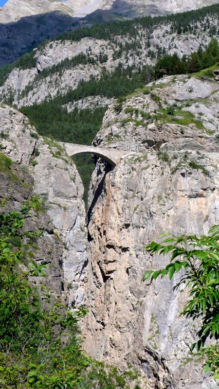
We drove downhill to the épicerie, picked up Mac and Henry (miraculously restored to good health), and drove across the stunning Pont du Châtelet, above the gorge, to Fouillouse. He turned out to have both a sense of humor and a Jeep Cherokee, He seemed eager to converse with us Californiens, telling us that he lived half the year in Petite Serenne where he was born; that his mother had recently died and yes that was her house, the mansion-like house we'd noticed was for sale; that no, we couldn't give him anything to thank him for the ride, not even buy him a glass of wine; and, finally, just as we drove up to our hotel, that his name was Lafayette.

Ah, well, mussieu Lafayette, I said cleverly, we are here. And we just had time to thank him, climb down out of his Cherokee, assure the anxious Madame in the hotel that we had fiinally arrived, and clean up, before sitting down to yet another chicken dinner.


Estimates of distances and denivelement are even more difficult than usual for this day, as you can imagine:
Distance walked, day 30: ca. 26 kilometers (16 miles) • Time: 9 hours • dénivelément: ca. 2450 meters (8000 feet)

Additional photos from our walk across the Alps can be found here

all photos cs except as as noted
26: la Chalp to Ceillac

Beginning with the walk of July 14, additional photos from our walk across the Alps can be found here
Day 29: July 18, 2008


Breakfast was decent, but I was troubled: there was something a little odd about this gîte, or perhaps the guy who ran it, a Belgian; I never quite understood either what he was saying or why he was saying it; and besides I knew, we all three knew that today and tomorrow would be long hard days, with lots of climbs and very little by way of refreshment possibilities. And I was nervous about finding beds. Mid-July is as bad now as August used to be; there are lots of people on the trails and in the gîtes d'étape and the refuges; and we'd heard, yesterday, that there would be no place for us at Fouillouse, the logical stop tomorrow night. What to do? Ask for help at the tourist bureau in Arvieux, only a kilometer or so down the road, but off our GR5.
P1030100.jpg

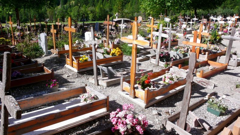
So, leaving la Chalp about quarter past eight, we got to Arvieux in fifteen minutes, and the tourist office was not yet open. We killed a little time at the 16th-c. St. Laurent church, whose tower pleased me for its similarity to the one in Chiomonte, with its four "ears", and whose churchyard contained curiously fenced-off graves looking for all the world like little rustic beds,
P1030094.jpg


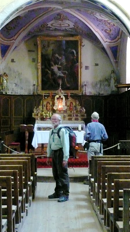
and whose interior was quite attractively painted,
P1030097.jpg

photo: Henry Shere


P1030099.jpg
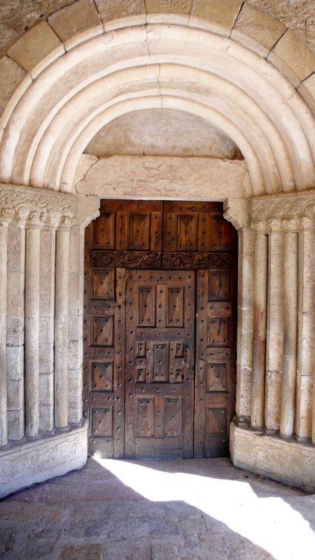
and whose portal was suitably Romanesque; and then we went to the tourist bureau whose madame told me rather brusquely that of course while the Fouillouse refuge was fully booked tomorrow night there would be no trouble getting a room in the refuge in St. Paul, only a little off GR5 before coming to Fouillouse; she made the telephone call; our Belgian had already booked the last three beds for tonight in Ceillac, so now, we thought, we had no worries.
P1030102.jpg

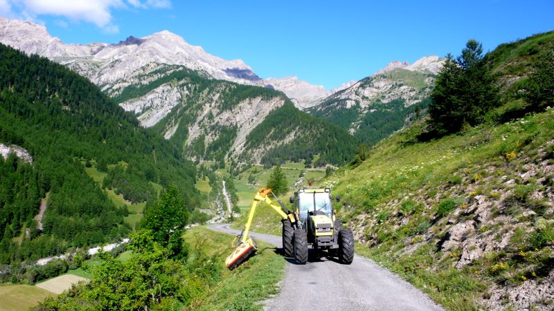
At 9:45 we finally left Arvieux and took a road leading by hairpins up the flank of La Muande easterly, marveling at the wild rosebushes and saddened by the tractor-mounted mowing machine that threatened them as it clipped the shoulders of the road, why one wondered, only to cut down the flowers.
P1030105.jpg

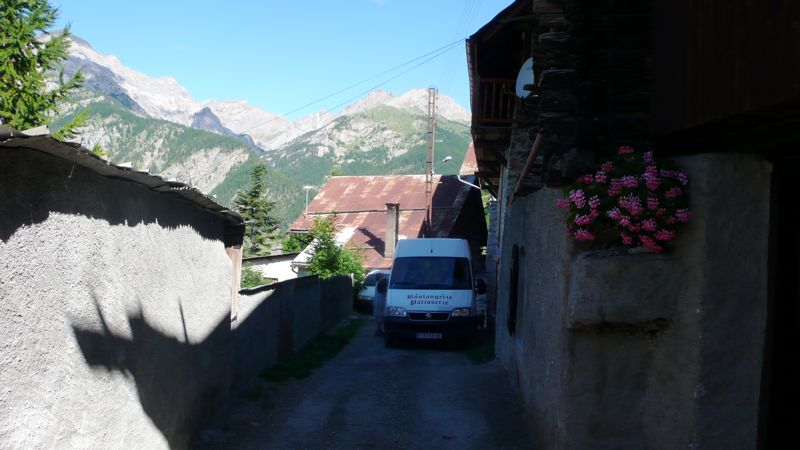
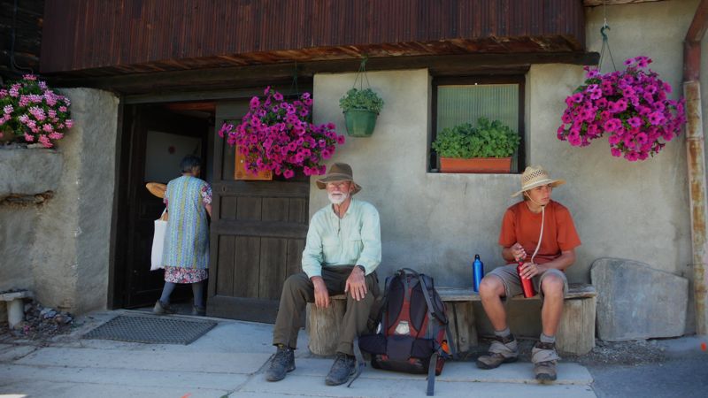
And then we were in a most interesting hamlet, Les Maisons, where a twice-weekly delivery truck was just supplying the three or four households with bread, and where we sat for a rest on a bench,
P1030106.jpg
Resident; Mac; Henry: Les Maisons

and admired a very curious, inexpensively built church-tower. And then off again on a pleasant traverse to a glacial lake, the Lac de Roue;
P1030111.jpg

and through pleasantly forested country, still fairly flat, until, at what seemed to be another picnic-ground park, we suddenly were made to descend very sharply indeed down four hundred meters or so to the gorge of the Guil, above which the départemental D947 wends a tortuous two-lane route on which we found traffic to be not only stopped but actually backing away from our proposed rest stop at Château-Queyras, with its famous fortification. By now it was exactly noon, tea-time; but the first place we came to wasn't much more than a convenience store with a picnic table outside, right next to the main road which by now was humming again with traffic.
P1030112.jpg
Fort Queyras above the lumber yard

We walked down the steep street to the old town down by the river, looking for another tourist bureau for another attempt at a bed in Fouillouse tomorrow night, but found no useful information — in fact, we were sent in the wrong direction to rejoin our GR5, and lost twenty minutes or so walking an uninteresting paved road.
Finally we found our trail, though, at a bridge crossing the Guil, a narrow fast stream at this point, and we began a laborious climb up a thousand meters in ten kilometers to the oddly named col Fromage. That sounds hard, and it was, a little; but the afternoon was softened by the marvelous display of wildflowers. Much of the time we were waking alongside the torrent Bramousse, through fields not really all that steep; the afternoon was warm and pleasant, and we took languid rests to admire it all.
P1030129.jpg

By five o'clock we finally reached the Col Fromage, 2300 meters (7500 feet), and had only — only! — to descend 700 meters in a little over an hour, to the town of Ceillac, our four German friends, the Gîte Balladin (nearly full: we'd been lucky to get accommodations), and, across the street, a real bar where I could get a real Martini, it being Friday evening.
I had to teach the bargirl how to make it, of course: No, not Martini Red, a gin Martini. She found a cocktail shaker somewhere, put an ice cube in it…
Wrong already. I had her put several more cubes in, and then the gin, no, twice that much at least; and then the vermouth, no, not red, sec, white: and now shake it fifty-six times. Cinquante-six, mussieu? Bien sûr: let me show you: and I shook the thing fifty-six times, and forbore to ask for olives not knowing what might happen. It was my first Martini in a month, and it was good enough.
IMG_0490.jpg
photo: Mac Marshall

Back to the gîte, then, for a convivial glass with our German friends, and then dinner, and an early night to bed.


Distance walked, day 29: ca. 24 kilometers (15 miles) • Time: 8-1/2 hours • dénivelément: ca. 2700 meters (7800 feet)
all photos cs except as as noted