Day 6, June 25, 2008—
We left the hotel at 8:15, stopping at the ATM and to fill our waterbottles at a bar with a very pretty bargirl. We followed the Torrent des Mattes, admiring its cascade,
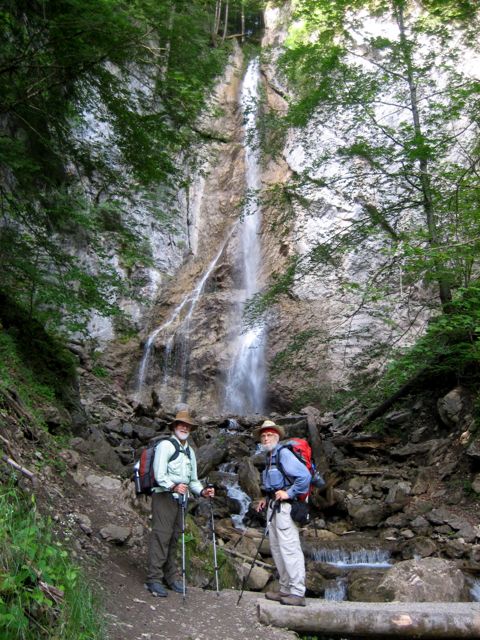
photo: Henry Shere
climbed through forest through Sur-Bayard and up lacets — switchbacks — across fields; then easier climbs back in forest again.

photo: Mac Marshall
We reached the Chalet des Crottes after two and a half hours, stopping for conversation with a herd of French tourists and their guide; then through open flowery and sometimes marshy fields to another chalet or two and then, in snowy weather, arrived at the col des Mattes, today's highest point at 1930 meters, at 12:15.
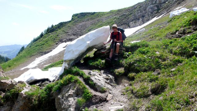
photo: cs
There we ducked under a fence, tricky with a backpack on, admired the view,
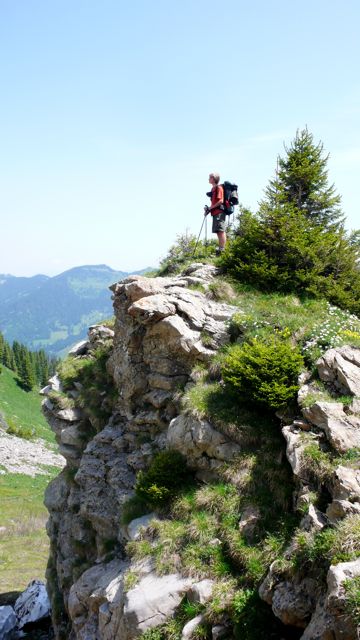
photo: cs
and then set off down more lacets, down over 200 meters through pastures. These switchbacks ease the grade, of course, but make problematic any estimate of horizontal distance covered, which is why you must take statistics at the bottom of these pages with a grain of salt: I try in general to underestimate.
The Chalet de l'Etrye was closed, of course — no provisions here but a few apples we'd brought with us. We took a country road to Lenlevay, where we could refill our canteens; then a harder climb up 150 meters the arête de Coincon, and then across generally open country, down 200 meters and back up another hundred, to the fine gite
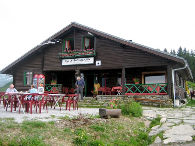
photo: Mac Marshall
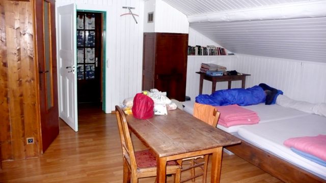
photo: cs
at the Col de Bassachaux, where for dinner we had potage, tartaflette, and a delicious tarte à myrtilles, washed down with Apremont.
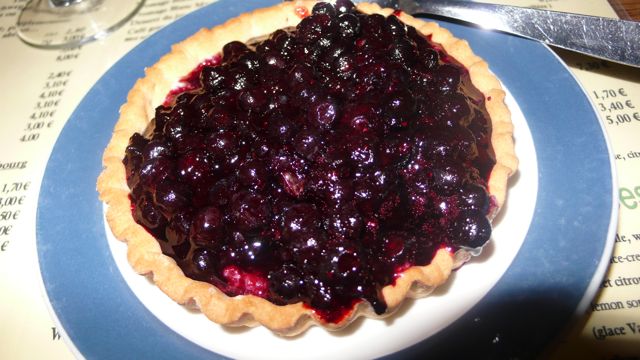
photo: cs
Distance walked, day 6: ca. 16 kilometers. • Time: ca. 7 hours 30 minutes • elevation change: ca. 1600 meters


0 comments:
Post a Comment