Walks and hikes in Europe and California, posted sporadically as they happen… or as I reflect on them…

Monday, September 29, 2008

28: Fouillouse to Larche

Beginning with the walk of July 14, additional photos from our walk across the Alps can be found here
Day 31: July 20, 2008


Breakfast a little after seven; out the door at eight, on an overcast but warm morning. Fouillouse wasn't much of a town, and we didn't linger.
P1030197.jpg
I admired the doorways, many painted alarming indigos and deep violets; and the statuary, odd knicknacks in improbable settings, and a charming little St. Mary in a wayside shrine not much bigger than a postbox; and then we hit the road past the chapel out of town.
P1030199.jpg

In twenty minutes we were well away from civilization; it was raining; we put on our raingear and covered our packs. The track took us up a fairly broad valley, southeasterly, larch forest and open pastures alternating, just as did sunshine and shadow.
P1030200.jpg

We climbed steadily, easily, as the valley broadened and left the forest behind, climbing above them; in a little over two hours we were at the first col of the day, the col du Vallonet, unremarkable;
P1030208.jpg

and then, past the crusty Rocher Piroulire, we began climbing again, past the imposing ruins of the Laraquements de Viraysse, part of the fortifications erected after World War I. Henry and I investigate these ruins, going inside the gate and into the parade ground.
P1030211.jpg

One building retains its roof; in really bad weather one could easily ride out a storm here.
P1030212.jpg
Otherwise the buildings were crumbling back into the rock from which they'd originally risen; a familiar air of futility presides over these ruined fortifications, as useless as the wars they so ineffectively guard against.
P1030217.jpg

From here we climbed harder, up hairpins, to the col de Mallemort, at 2550 meters the high point of the day; and then we dropped into a valley bigger than we'd originally though, the village of Larche far below us. It began to rain again; I was glad I had my umbrella.
P1030225.jpg
photo: Henry Shere

It rained as we entered town, and not knowing where our gîte was we ducked into the first bar we came to. It turned out to be next door, of course, across a little bridge, and we checked in early, into the least promising-looking stop of our entire trip so far.
P1030228.jpg

Larche was completely destroyed during World War II, and its rebuilding has been more pragmatic than attractive. It stands on an important pass leading to Piemonte, toward Cuneo; one of these days I'll have to explore this area further. For the present we were content with a visit to the Bureau de Tourisme, where the lone attendant, laconic and probably bored, sat in the dark, "conserving electricity" as he pointed out when I commented on it, assured us that we'd have trouble finding accommodations down the road.
Distance walked, day 31: ca. 20 kilometers (12 miles) • Time: 6 hours • dénivelement: ca. 1900 meters (6200 feet)

Additional photos from our walk across the Alps can be found here

all photos cs except as as noted

Friday, September 26, 2008

27: Ceillac to Fouillouse

Beginning with the walk of July 14, additional photos from our walk across the Alps can be found here
Day 30: July 19, 2008


THANKS TO FULLY BOOKED hotels, confusion over too much advice, irresoluteness and my own carelessness, this was a hard and a shameful day. But a beautiful one.
IMG_0493.jpg  IMG_0494.jpg
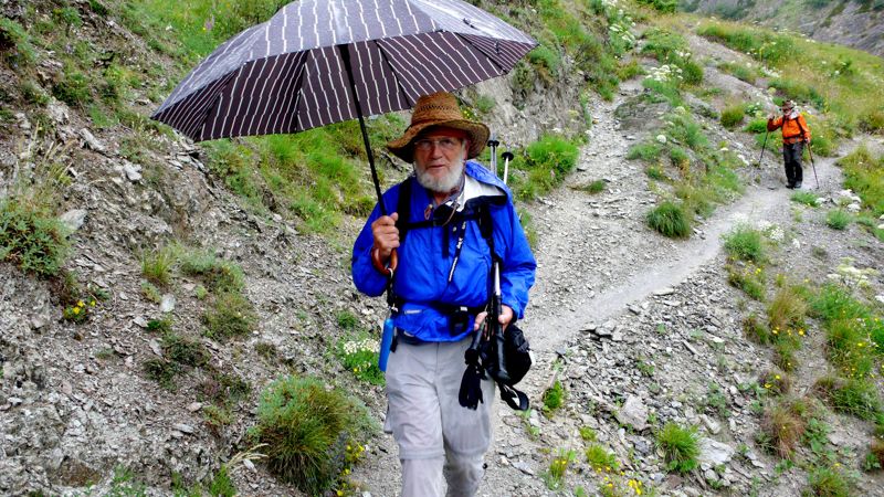
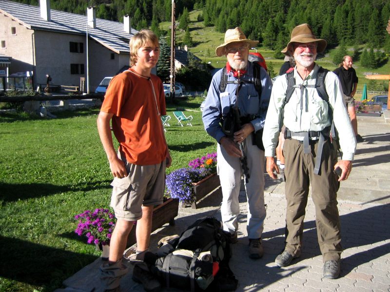
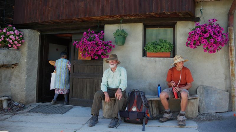
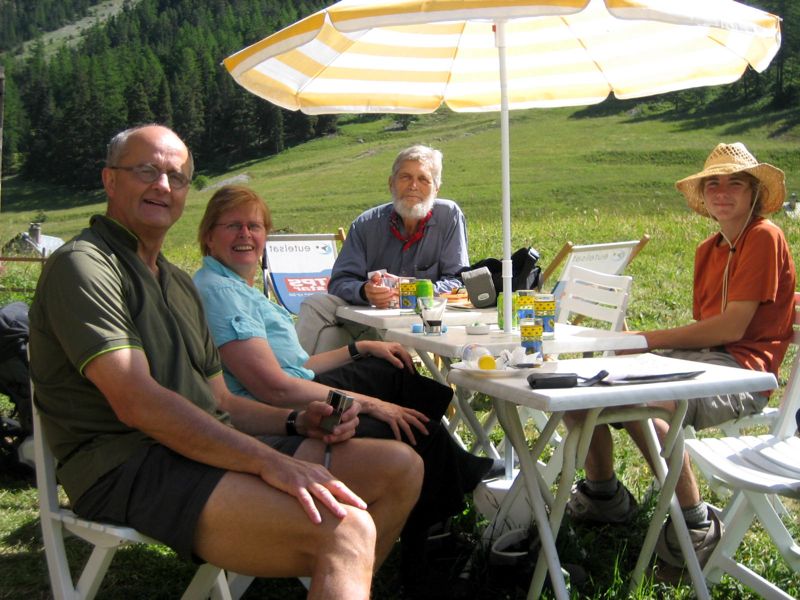
"The Germans": Dagmar and Andre Jankwitz, Thomas Greff, Irmtraub Marstaller-Greff (photo: Mac Marshall) Henry, CS, Mac (photo: one of "The Germans"

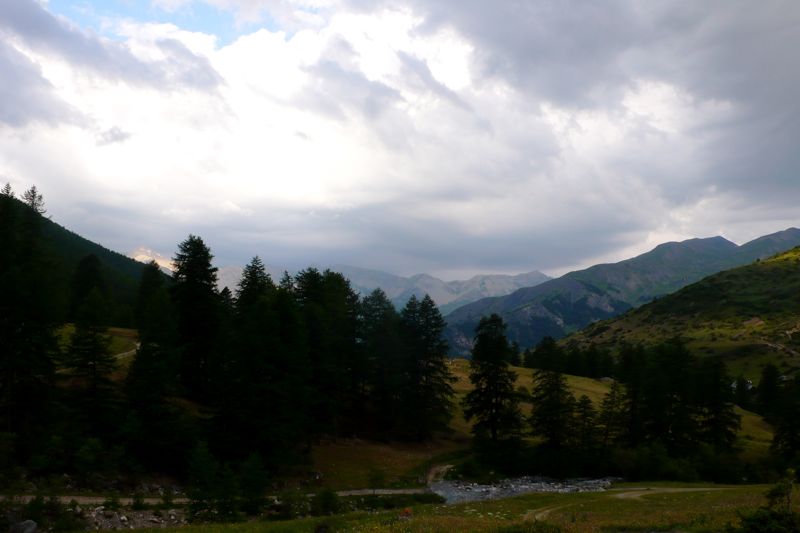
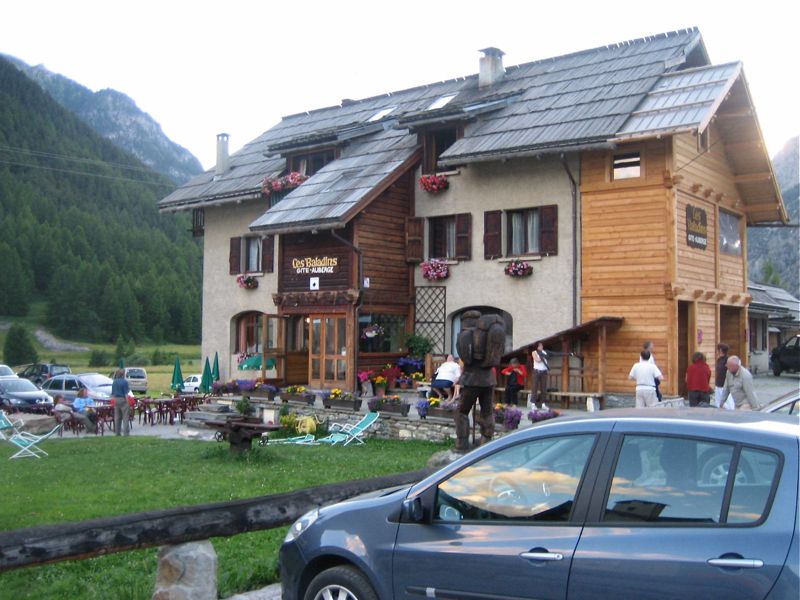
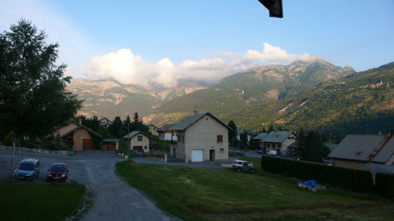
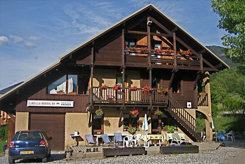
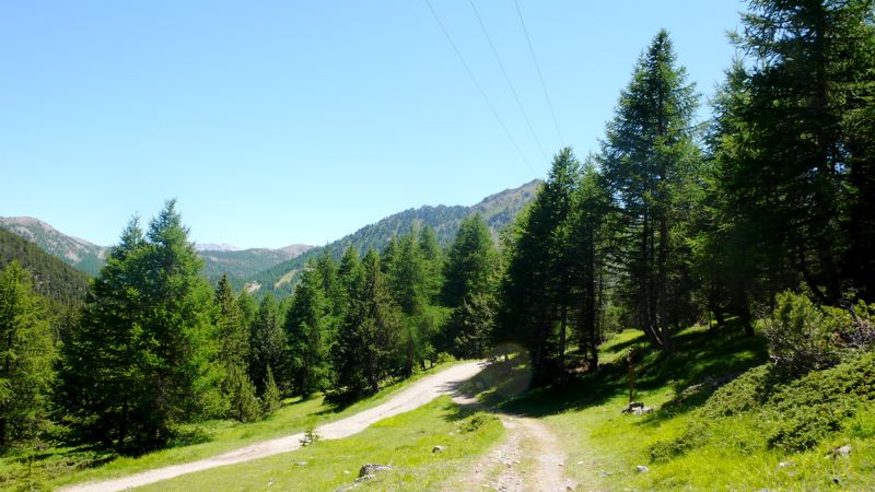
It began at 8:20, when we left last night's 
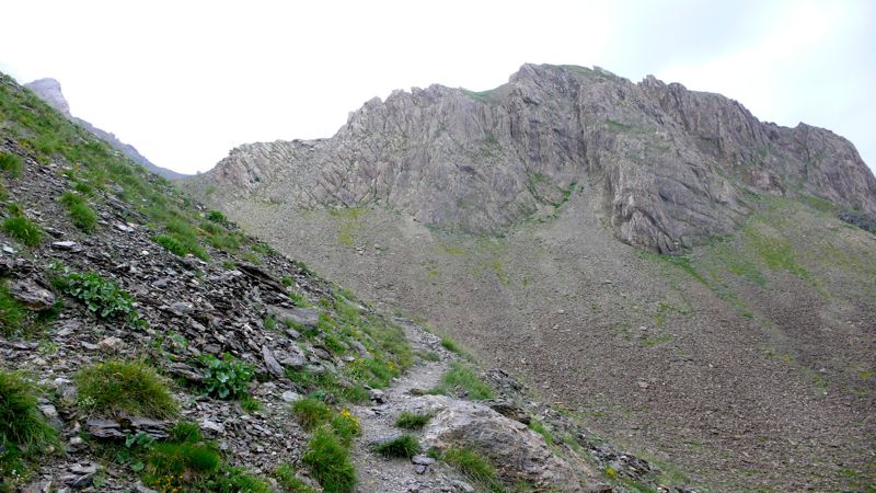
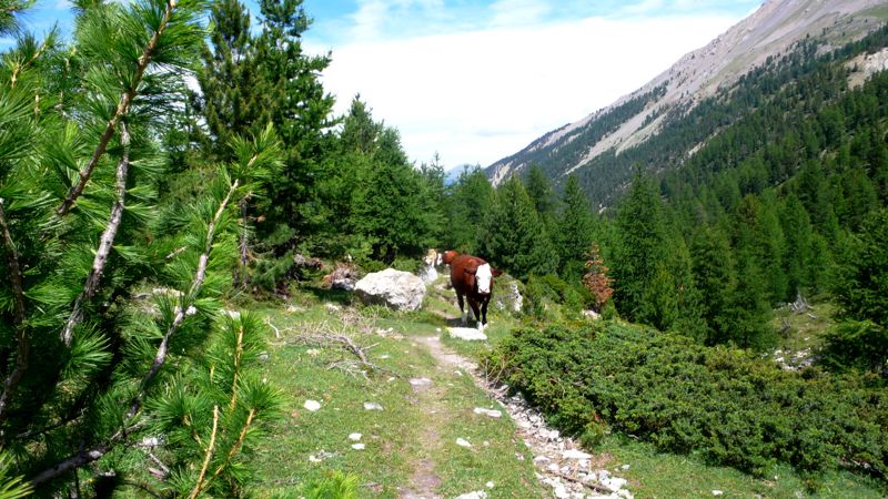
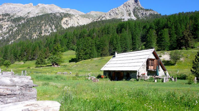
gîte together with our German friends, walking through town, past a grassy recreation field, and then hitting the road and trail toward the col Girardin, at 2700 meters (8850 feet) the second highest point on our entire trip.
P1030145.jpg
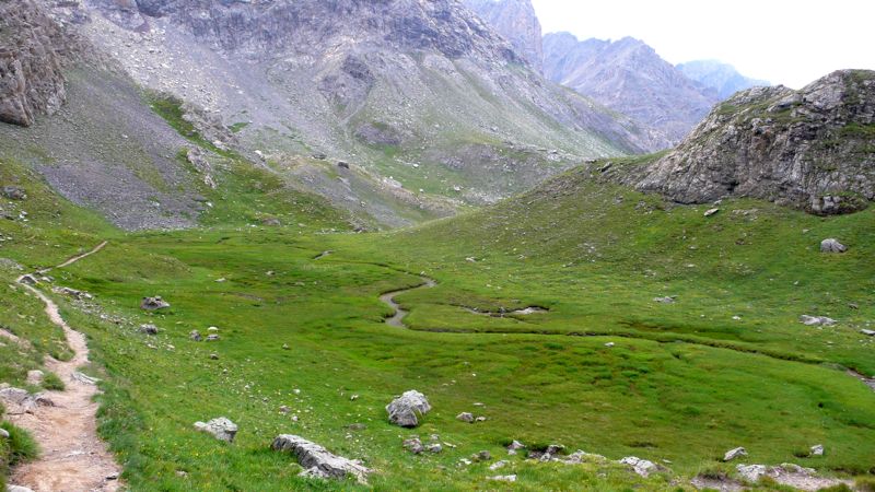
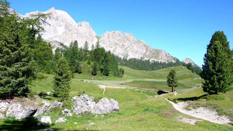
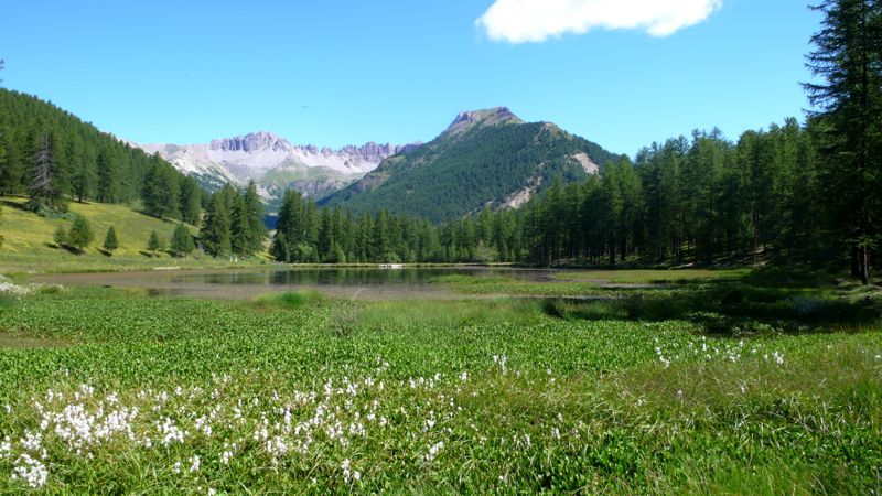
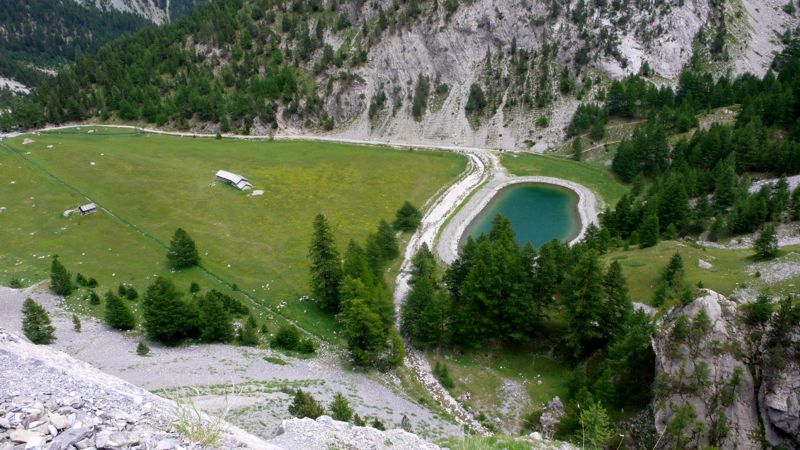
In a couple of hours we arrived at the lac des Prés-Sobeyrand (lac Miroir), where we stopped for fifteen minutes' rest. I was increasingly mindful of our Austrian friend's advice: five minutes rest every hour, an hour's rest every day: but mindful is not actual; the terrain and the weather have a lot to do with it. I was surprised to see two or three pop-tents here: bivouackers were making a late morning of it — but then I recalled we'd walked out of the Parc National Queyras the day before; perhaps camping was, if not exactly legal, at least not illegal here.
P1030150.jpg

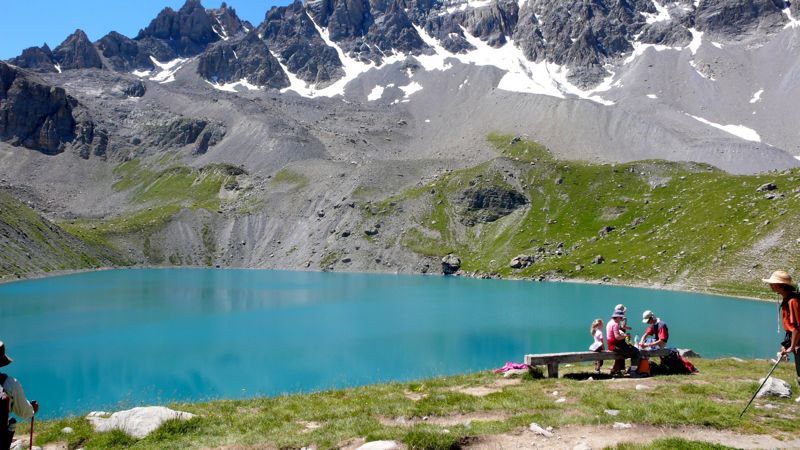
In another hour we came to the Chapelle Ste.-Anne at an even more impressive lake, crowded with day-hikers (this being a Saturday): we ate our picnic lunch among them, then left just as the Germans arrived — we had actually passed them on the trail somewhere!
P1030159.jpg

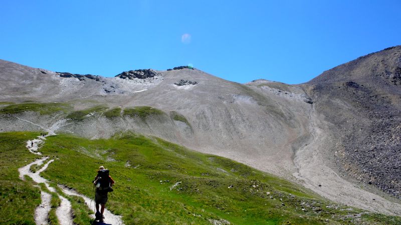
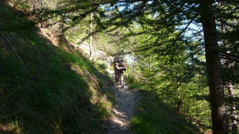
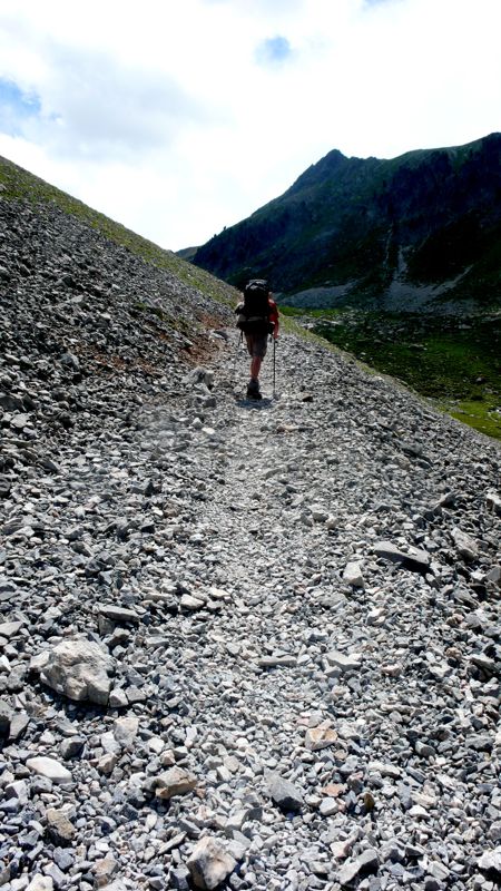
It was a tedious climb from here up to the col Girardin: I slow down when I get above 8000 feet. As nearly every day, when climbing steadily, I was annoyed by mentally hearing obsessive silly tunes, always diatonic, always in duple rhythm: today's was
tune.jpgand so on…

Alll you can do is put up with it; after a while something, stray conversation usually, drives it away.
P1030163.jpg

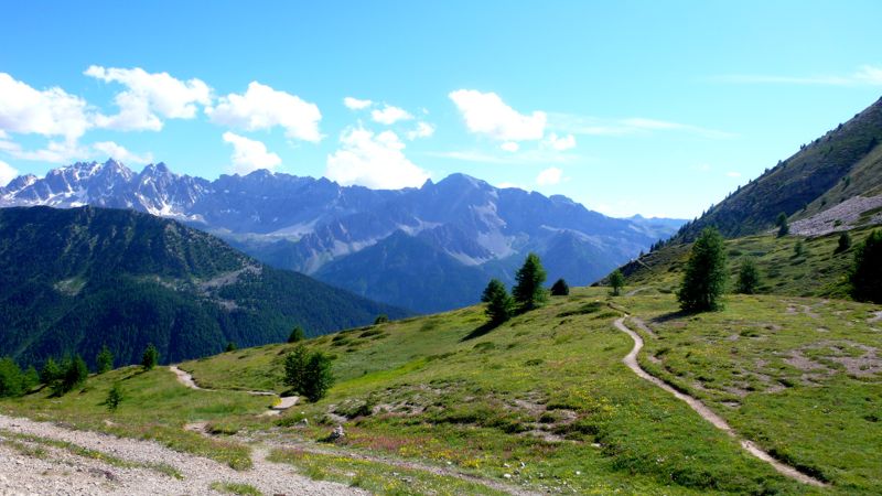
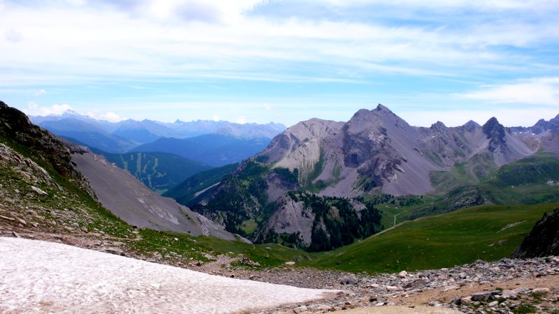
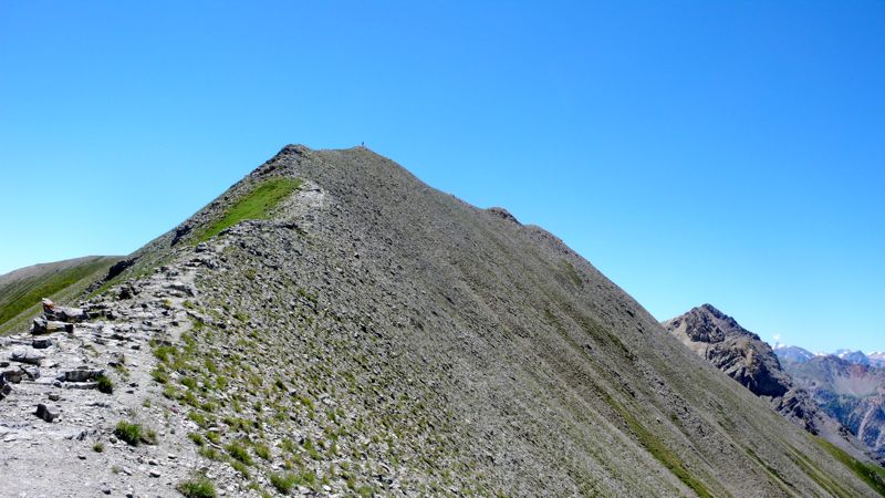
We reached the col a little before one in the afternoon. As well as the second-highest of our entire walk, this was a politically meaningful moment: we were leaving the département of Hautes-Alpes and stepping, finally, into the Alpes-de-Haute-Provence: we were in Provence!, But we didn't linger: we had a lot of territory to cover, and I was still uncertain about the night's lodging — the Belgian had reserved a place at St.-Paul-sur-Ubaye; the tourist bureau lady in Arvieux has reserved one at Fouillouse (I used Mac's name for that one, translating into French — "Maréchal" — for the sake of simplicity and to eliminate confusion).
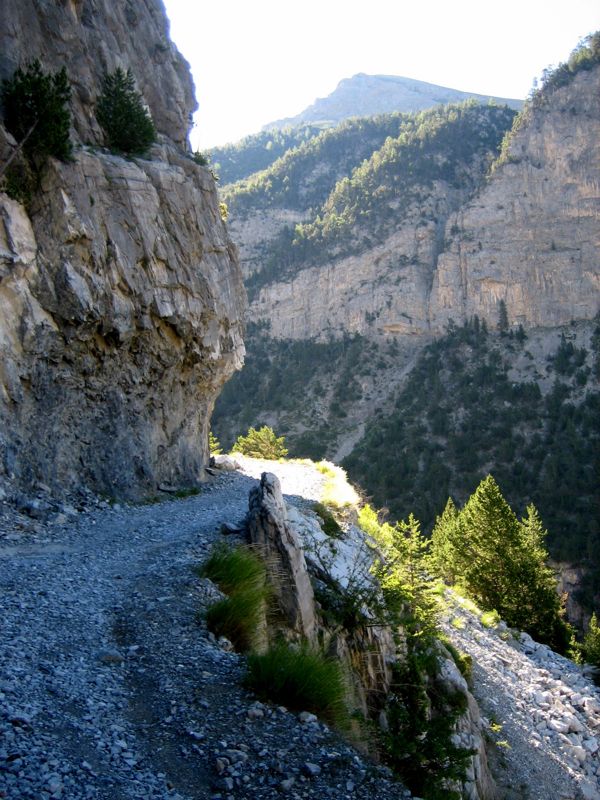
A number of lacets— hairpins — across a suprising pré, pasturage-field, full of flowers; and then a footpath along a new 
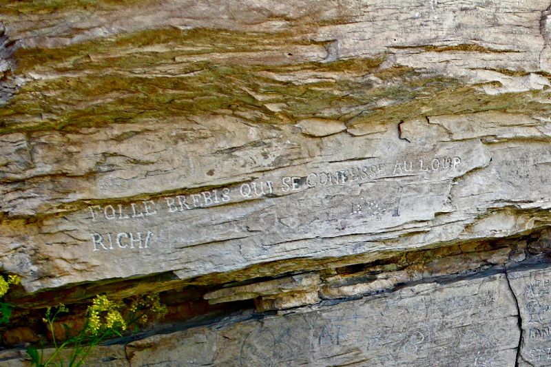
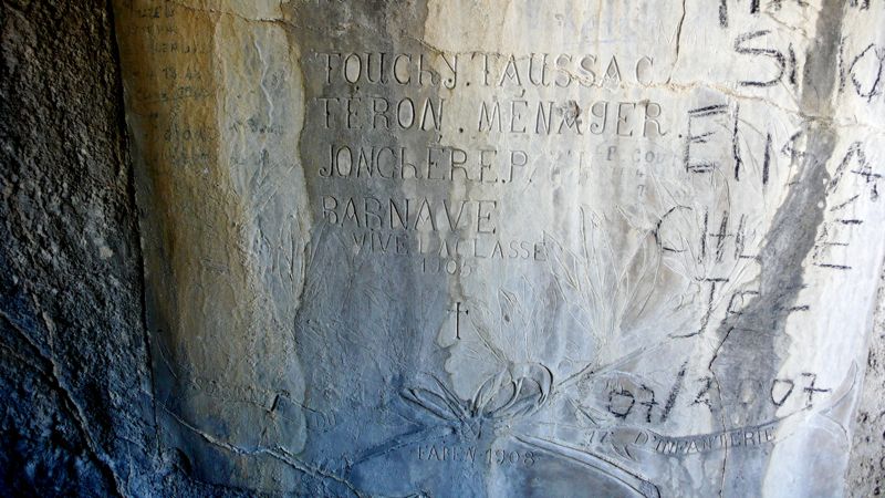
torrent, the Séchoirs; then a surprising large rock covered with inscriptions, some in the elegant hands of the 19th century, others in more recent scrawls.
P1030176_2.jpg


I particularly liked one ancient graffito in beautiful majuscules: 
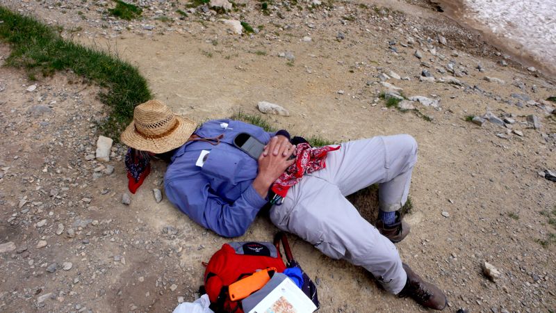
Folle brébis qui se confesse au loup (foolish the ewe who confesses to the wolf). We rested: then down, down, and down. At 2:45, we were down nearly nine hundred meters from the col.
P1030183.jpg

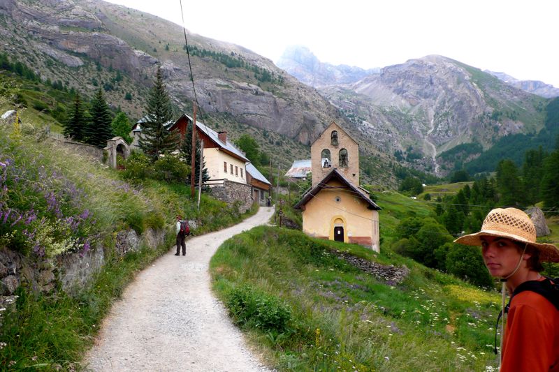
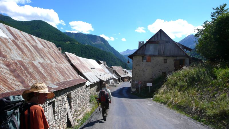
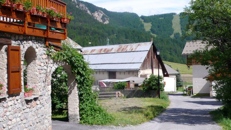
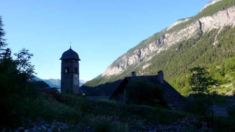
By 4:40, we had entered the village of Grande Serenne, where some tables and chairs on a terasse invited us to tea, conversation, and a rest for forty minutes, knowing we weren't that far from St.-Paul-sur-Ubaye, where I expected a night's lodging above the town épicerie. And on, afterward, through Petite Serenne, and down a few kilometers of asphalt départemental road to St. Paul and its gîte, where a sign on the door said complet. I told the grocer we had reservations: Ah, en ce cas, montez, montez!
We toiled up the staircase and gave our names, all of our names; but none of our names was inscribed. We had no reservation. There was nothing to be done.
We went back downstairs and had a beer on the sidewalk, though there was no sidewalk, and considered the possibilities. We could take a taxi to the next town, Fouillouse, where there might be a room; but there was no taxi in this town. I phoned Fouillouse: Ah, mussieu Maréchal, on vous attend; a room is waiting for us, dinner too, but how to get there?
A boy in the grocery suggested looking among the notices posted on the door of the mairie to see if there might be a taxi service, so I walked into the town. No taxi notice. I saw three or four men just finishing a game of boules alongside the mairie, and did not hesitate to approach them:
Excuse me, gentlemen, I am walking the GR5 with my grandson and a friend, my friend can't walk another step, he is lame and my grandson not too well; do any of you know anyone who might be willing to drive us to Fouillouse?
They looked at one another doubtfully and discussed the situation. I did not listen. Then one fellow, the largest of the four, said he'd be glad to give us a lift if he had room in his little car.
P1030182.jpg
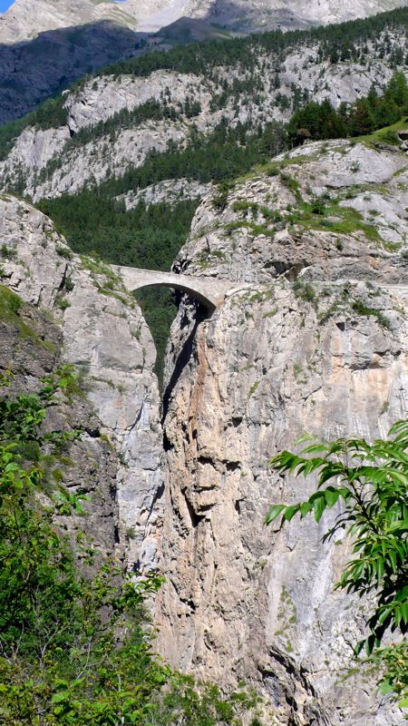
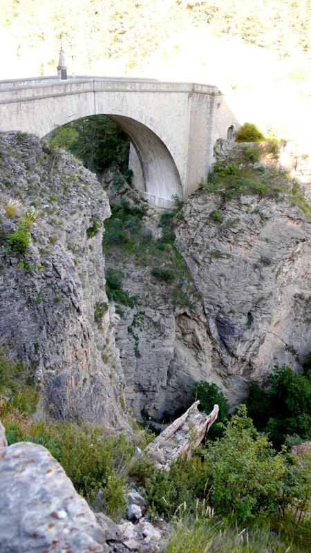
We drove downhill to the épicerie, picked up Mac and Henry (miraculously restored to good health), and drove across the stunning Pont du Châtelet, above the gorge, to Fouillouse. He turned out to have both a sense of humor and a Jeep Cherokee, He seemed eager to converse with us Californiens, telling us that he lived half the year in Petite Serenne where he was born; that his mother had recently died and yes that was her house, the mansion-like house we'd noticed was for sale; that no, we couldn't give him anything to thank him for the ride, not even buy him a glass of wine; and, finally, just as we drove up to our hotel, that his name was Lafayette.

Ah, well, mussieu Lafayette, I said cleverly, we are here. And we just had time to thank him, climb down out of his Cherokee, assure the anxious Madame in the hotel that we had fiinally arrived, and clean up, before sitting down to yet another chicken dinner.


Estimates of distances and denivelement are even more difficult than usual for this day, as you can imagine:
Distance walked, day 30: ca. 26 kilometers (16 miles) • Time: 9 hours • dénivelément: ca. 2450 meters (8000 feet)

Additional photos from our walk across the Alps can be found here

all photos cs except as as noted

26: la Chalp to Ceillac

Beginning with the walk of July 14, additional photos from our walk across the Alps can be found here
Day 29: July 18, 2008


Breakfast was decent, but I was troubled: there was something a little odd about this gîte, or perhaps the guy who ran it, a Belgian; I never quite understood either what he was saying or why he was saying it; and besides I knew, we all three knew that today and tomorrow would be long hard days, with lots of climbs and very little by way of refreshment possibilities. And I was nervous about finding beds. Mid-July is as bad now as August used to be; there are lots of people on the trails and in the gîtes d'étape and the refuges; and we'd heard, yesterday, that there would be no place for us at Fouillouse, the logical stop tomorrow night. What to do? Ask for help at the tourist bureau in Arvieux, only a kilometer or so down the road, but off our GR5.
P1030100.jpg

So, leaving la Chalp about quarter past eight, we got to Arvieux in fifteen minutes, and the tourist office was not yet open. We killed a little time at the 16th-c. St. Laurent church, whose tower pleased me for its similarity to the one in Chiomonte, with its four "ears", and whose churchyard contained curiously fenced-off graves looking for all the world like little rustic beds,
P1030094.jpg


and whose interior was quite attractively painted,
P1030097.jpg

photo: Henry Shere


P1030099.jpg
and whose portal was suitably Romanesque; and then we went to the tourist bureau whose madame told me rather brusquely that of course while the Fouillouse refuge was fully booked tomorrow night there would be no trouble getting a room in the refuge in St. Paul, only a little off GR5 before coming to Fouillouse; she made the telephone call; our Belgian had already booked the last three beds for tonight in Ceillac, so now, we thought, we had no worries.
P1030102.jpg

At 9:45 we finally left Arvieux and took a road leading by hairpins up the flank of La Muande easterly, marveling at the wild rosebushes and saddened by the tractor-mounted mowing machine that threatened them as it clipped the shoulders of the road, why one wondered, only to cut down the flowers.
P1030105.jpg

And then we were in a most interesting hamlet, Les Maisons, where a twice-weekly delivery truck was just supplying the three or four households with bread, and where we sat for a rest on a bench,
P1030106.jpg
Resident; Mac; Henry: Les Maisons

and admired a very curious, inexpensively built church-tower. And then off again on a pleasant traverse to a glacial lake, the Lac de Roue;
P1030111.jpg

and through pleasantly forested country, still fairly flat, until, at what seemed to be another picnic-ground park, we suddenly were made to descend very sharply indeed down four hundred meters or so to the gorge of the Guil, above which the départemental D947 wends a tortuous two-lane route on which we found traffic to be not only stopped but actually backing away from our proposed rest stop at Château-Queyras, with its famous fortification. By now it was exactly noon, tea-time; but the first place we came to wasn't much more than a convenience store with a picnic table outside, right next to the main road which by now was humming again with traffic.
P1030112.jpg
Fort Queyras above the lumber yard

We walked down the steep street to the old town down by the river, looking for another tourist bureau for another attempt at a bed in Fouillouse tomorrow night, but found no useful information — in fact, we were sent in the wrong direction to rejoin our GR5, and lost twenty minutes or so walking an uninteresting paved road.
Finally we found our trail, though, at a bridge crossing the Guil, a narrow fast stream at this point, and we began a laborious climb up a thousand meters in ten kilometers to the oddly named col Fromage. That sounds hard, and it was, a little; but the afternoon was softened by the marvelous display of wildflowers. Much of the time we were waking alongside the torrent Bramousse, through fields not really all that steep; the afternoon was warm and pleasant, and we took languid rests to admire it all.
P1030129.jpg

By five o'clock we finally reached the Col Fromage, 2300 meters (7500 feet), and had only — only! — to descend 700 meters in a little over an hour, to the town of Ceillac, our four German friends, the Gîte Balladin (nearly full: we'd been lucky to get accommodations), and, across the street, a real bar where I could get a real Martini, it being Friday evening.
I had to teach the bargirl how to make it, of course: No, not Martini Red, a gin Martini. She found a cocktail shaker somewhere, put an ice cube in it…
Wrong already. I had her put several more cubes in, and then the gin, no, twice that much at least; and then the vermouth, no, not red, sec, white: and now shake it fifty-six times. Cinquante-six, mussieu? Bien sûr: let me show you: and I shook the thing fifty-six times, and forbore to ask for olives not knowing what might happen. It was my first Martini in a month, and it was good enough.
IMG_0490.jpg
photo: Mac Marshall

Back to the gîte, then, for a convivial glass with our German friends, and then dinner, and an early night to bed.


Distance walked, day 29: ca. 24 kilometers (15 miles) • Time: 8-1/2 hours • dénivelément: ca. 2700 meters (7800 feet)
all photos cs except as as noted

Wednesday, September 24, 2008

25: Villard-St.-Pancrace to la Chalp

Beginning with the walk of July 14, additional photos from our walk across the Alps can be found here
Day 28: July 17, 2008

NO CROISSANT AT BREAKFAST in this gîte! We're in a suburb, buildings set just a little too far apart, hardly any commercial buildings, no bakery to be seen.
P1030042.jpg

We all set out at about half-past eight, Hans and Henny, the Germans, and us; but we lost our way, not finding any balisage (blazes marking the route) and unwilling to trust the map. This cost us half an hour as we actually walked a large circle retracing yesterday's final twenty minutes, and finally we had to trust the map and walked on southeasterly out of town up the Ayes valley.
P1030044.jpg

IMG_0451.jpg
photo: Mac Marshall

Soon enough we encountered balisage, just where I'd thought it should be, and began the familiar daily walk: forest footpath; unpaved road; alpages; then the higher country toward a pass. An hour up the trek we came to a surprise, a country house hidden away among the trees, but GR5 turned away from it, respecting its privacy, continuing toward the Chalets des Ayes.
IMG_0452.jpg
Hans & Henny Both, CS, Henry Shere (photo: Mac Marshall)

Here there was a buvette, and at the buvette we found Hans and Henny, and joined them in a pot of tea for half an hour or so; then continued on in forestr and field.
P1030055.jpg

We'd already climbed five hundred meters, but had a harder seven hundred to ascend, first through relatively bucolic country toward the Chalets de Vers le Col, with herds of milk-cows sometimes following, sometimes leading us (but more often stoutly ignoring us). These chalets are in fact used; this being summertime, school-age children seem to be here with their berger fathers and bergeresse mothers, a promising sign…
P1030058.jpg
The last climb to the Col des Ayes was harder, across scree much of the time. At 2477 meters we were well above 8000 feet, where I begin to slow down when toiling uphill; and at the top Henry used my camera to catch me taking a five-minute snooze, first time I'd done that on the trip. (Last time, too.)
P1030067.jpg

P1030062.jpg
Though it's not the highest pass of the walk, even of this southern end of the walk, this pass seemed somehow definitive. We looked southeasterly across ridges and valleys to come, toward Mt. Viso in the distance, on the Italian border, and the country seemed drier, warmer. There was little snow on that border, though there was still a patch here. I had read somewhere that Briançon with its fountains, geraniums and pastel-colored buildings qualifies as the northernmost Provençal city (and, after Davos which is really only a resort, the highest city in Europe); here at the Col des Ayes I really felt I'd entered Provence, though at an improbably high elevation! But I hadn't; we were still in the d´partement of Haut-Alpes; innkeepers and shopkeepers would continue to dispute the Provençality of Briançon as I continued to investigate the matter: Briançon? Barcelonette? Perhaps not really until Gap?
In any case what we were entering was another National Park, the Queyras, and after our snooze and a half-hour for our picnic lunch we started out, at two in the afternoon, downhill, in some cases alarmingly downhill.
P1030074.jpg

There below us, for example, was what seemed an enormous lawn— pelouse is the French word for both :lawn: and "(grassy) prairie." And alongside it a pond; and beyond it, as it turned out, cliffs which served as practise-fields for apprentice rock-climbers.
P1030076.jpg

By half-past three we were in the town of Brunissard, where we stopped for another pot of tea; and then we strolled further down the road (D902) to the smaller hamlet la Chalp, where we'd reserved a bed for the night at the Chalet Viso, right on the GR5, a hundred yards off the road.
IMG_0463.jpg
photo: Mac Marshall

This seemed a particularly comfortable gîte d'étape, probably cozier in winter than in summer with its fireplace and casual lounging furniture; and we liked the dinner, which seemed contrived to define the terroir through which our long walk was taking us, though in reverse direction: a "Niçoise" salad (so billed, but compromised, I think, by kernels of frozen corn), grilled chicken, and potatoes Dauphinois, with peach tart for dessert. (By the way, I've listed the menu of every night of the Long Walk on The Eastside View.)

Distance walked, day 28: ca. 22 kilometers (14 miles) • Time: 8 hours • dénivelément: ca. 2300 meters (7500 feet)
all photos cs except as as noted

Tuesday, September 23, 2008

24: Briançon to Villard-St.-Pancrace

Beginning with the walk of July 14, additional photos from our walk across the Alps can be found here
Day 27: July 16, 2008

P1030006.jpg
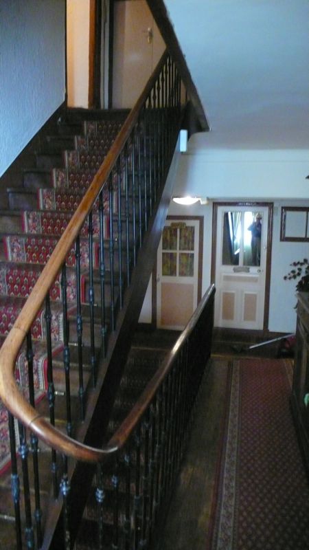
The Hotel de la Paix is comfortable enough but very old-fashioned, with nice staircases leading to our top-floor "suite" — for two adjacent rooms had been combined for us, giving us our own bath. But I dreamed oddly: books scattered about on a glass floor; a missing author; tools lying about, my grandfather stern; a great wooden chest — for the books, or the tools?

We spent the morning investigating the old city of Briançon, shopping a bit — one doesn't shop much when one carries all one's purchases! — and having a nice lunch at the Restaurant La Passage. Yesterday had been a hard day — seventeen miles in ten hours, and nearly nine thousand feet of up and down! So today would be almost a rest day, our last before Nice: we would walk only two hours today.
P1030029.jpg
photo: Henry Shere

We filled our canteens at one of the fountains and walked down, out of the old city throuth the porte d'Embrun, down to the broad Avenue de la République, and then along a footpath to the remarkable Parc la Schappe, with its esplanade, pond, and lawns; a very nice retreat on a warm sunny day like today.
P1030032.jpg
But we didn't linger: we walked past a former paper mill now being turned into an exhibition space and along suburban streets to the hamlet of Pont de Cervières.
P1030033.jpg

We were halfway to our destination as the crow flies, but the GR5 took us instead on a footpath among scattered trees, often along a charming irrigation canal, hardly more than a gutter, with a few frogs here and there.
P1030035.jpg

This led to a forest road along and above the left bank of the Cerveyrette. we climbed almost two hundred meters, then turned nearly 180 degrees to descend westerly toward Villard-Saint-Pancrace, where, at 4:15, we checked in at Le Bois de Barracan, rather a nice gite d'etape where we found Hans and Henny, our Dutch friends.
IMG_0449.jpg
photo: Mac Marshall

Here too we met two German couples — close friends who have rambled together on many paths, one a landscape architect and gardener, the other two physicians. When I described the curious burning sensation I'd felt for weeks on my left thigh, placing my hand on the exact spot, "Ah yes, the quadriceps fascia, used only for walking down hills," he said, explaining a good deal.
There was nothing to do in Villard-St.-Pancrace, nothing but relax, study the guidebooks, and talk. Tomorrow would be a tough climb, two thousand meters; and then we'd have a couple of really hard days: it felt good to relax in the sun.


Distance walked, day 27: ca. 6 kilometers (4 miles) • Time: 2 hours • dénivelément: ca. 400 meters (1300 feet)

all photos cs except as as noted

Monday, September 22, 2008

23: Plampinet to Briançon

Beginning with the walk of July 14, additional photos from our walk across the Alps can be found here
Day 26: July 15, 2008

Today was going to be a long day: we could stop in Montgenevre, I've stayed there before, but that would leave a very short walk next day to Briançon, and I wanted Mac and Henry to spend the night there — it's such an unusual place, pretty and unusual; and to my mind it signalled the three-quarter stop, after which our walk would definitely be winding down.
P1020930.jpg
We left the hotel about 8:30. Madame had forgotten I'd asked for bag lunches, and when I asked if there were épiceries en route she clearly remembered, stepped back into the hotel, and came back out again with three apples and three peaches: no time to make sandwiches.
IMG_0381.jpg

We left Plampinet behind us, taking a gravel military road that climbed steadily, up a number of lacets or hairpins, vertical rock to our left, considerable drop into a deep gorge to the right.

At one point we stopped: Henry wanted to explore a tunnel that seemed to lead back into the mountain below the road. It turned out to be merely a culvert, but an impressive one, with names engraved by the soldiers who'd built it in 1908 — exactly a century ago! — and, predictably, scrawled cartes de visite from more recent explorers.
photo: Mac Marshall


P1020942.jpg
photo: Henry Shere

While we waited for Henry, the Primhaks arrived -- the couple from Sheffield we'd met back at Mont Thabor and dined with last night in Plampinet. Rob joined Henry in the culvert; Bev good-naturedly indulged him; and we continued on up the road, stopping to eat our peaches at the chalets des Acles.
P1020952.jpg

These chalets are maintained, apparently, by and for the shepherds who manage the transhumance, the annual summertime herding of cattle and sheep through these lush pastures. This has gone on for centuries and seems to do the ecology no harm, though there are those who complain certain species of wildflower are in decline. The chalets range from out-and-out ruins, with collapsed or missing roofs and sometimes walls crumbled away, to quite tidy homesteads that look to me to be viable year 'round — though of course I haven't been here in the dead of winter.
In another two hours, just at noon, we arrived at the col de Dormillouse, a thousand meters above Plampinet.. Mac had got there first and was grinning in anticipation, standing with a pleasant-looking couple who greeted me in Dutch.
IMG_0395.jpg
Henny Both, CS, Hans Bothe. Note white & red balisage on post (photo: Mac Marshall)

Hans and Henny Both turned out to be from Ten Bosch, the second Dutch couple we'd met from that city (a city I've never visited). Mac introduced Hans to me as a teacher of gymnastics, and I politely asked what Henny might do: She's a psychologue, Hans replied; whereupon I turned to her and asked "What's wrong with me?" "Everything," Hans beamed, "that's what she'll tell you!" A jovial couple whose company we would enjoy later on as well.
IMG_0402.jpg
Henry and Mac at the col de la Lause

On, then, to the col de la Lauze, a hundred meters higher and half an hour down the trail. Rob Primhak wasn't content with the col: seeing a clear view to the south he scampered up the ridge on our west to the nearby summit.
P1020970.jpg

We continued, knowing we had a long way yet to go. It's a gentle descent into Montgenèvre, through park-like forest and occasional clearings, and we met tourists along the way: a big group of noisy Italian adolescents; then, by contrast, a pair of sixtyish Italian men, nicely dressed and making a bella figura, out for a comfortable stroll up to Mont Chaberton and back. We were very near the border, and looked down the valley to the north at Bardonecchia at one point: but instead of entering Claviere, a kilometer or so to the east, we turned west and walked eight times that far, it seemed, to Montgenèvre.
P1020972.jpg

When I was last here, not that long ago, this was a small border town. I told Henry how I'd scored a room when all the hotels were closed: entering the hotel dining room, where the staff was at dinner watching a quiz show on television, I hesitated: vous avez une chambre pour la nuit?
Non. Then the quizmaster intoned: Les sanglots longues / des violons / De l'automne…

Verlaine, I said authoritatively, and without thinking of what I was doing. The staff turned their faces from the television back to me, surprised I was still there. The quiz clock ticked in silence, the contestants looked pained, a buzzer sounded, and the quizmaster said Ah, dommage, c'est Verlaine. The staff looked back at me again, rose from the table; the oldest man came to me and asked how many beds we'd need, his wife went into the kitchen to find us something to eat.
You see the usefulness of a little knowledge of French poetry, I told Henry.

But Montgenèvre had changed in the meantime; it's full of condominiums, both built and a-building; it's ugly as sin, and I couldn't find the hotel in question, or any other place we'd want to stay. Besides, I pointed out, the old city of Briançon can't be far; let's press on. And so, after half an hour for a sandwich at an unpleasant beer-hall sort of place, we set out down the main road, N94, brnching off into the Sestrières forest, knowing our GR5 had to be in there somewhere, though balisage was for the most part lacking, and we found our way by map, guess, and logic.
P1020974.jpg
photo: Mac Marshall


P1020980.jpg
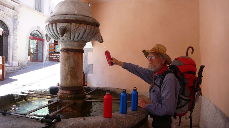
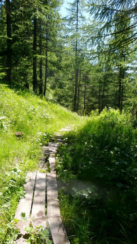
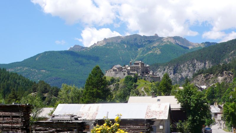
In fact Briançon was three hours away, down steep pleasant forest trails and unpleasant lumber-roads, beyond the hamlet of L'Envers-du-Fontenil, and across the magnificent
Pont d'Asfeld, built in 1734, 40 meters long and 56 meters above the river Durance. We crossed, walked to the principal street, and booked into the first hotel we found, old-fashioned and charming and, fortunately, blessed with a decent kitchen.

It was only 6:30: we had plenty of time for a shower and change, a walk around the curious, picturesque, entertaining old city and its moody 18th-century fortifications, and a late snack before one last admiring glance at the gathering night.


IMG_0431.jpg


photo: Mac Marshall

Distance walked, day 26: ca. 27 kilometers (17 miles) • Time: 10 hours • dénivelément: ca. 3000 meters (9850 feet)

all photos cs except as as noted